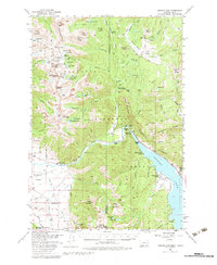
1950 Map of Hebgen Dam
USGS Topo · Published 1983About this map
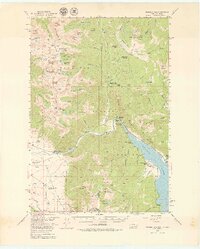
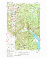
Hebgen Dam Spillway anchors the eastern edge of this landscape, where the waters of the Madison River are impounded against a backdrop of high mountain ranges. The map reveals a transition from the structured management of the Beaver Creek Ranger Station and various campgrounds like Rock Creek Campground to the high-elevation wilderness of the Madison National Forest. This 1950 field check captures the area just years before the 1959 Hebgen Lake earthquake, showing the natural drainages of Lightning Creek and Wapiti Creek before the terrain was permanently altered.
Find a feature on this map
108 named features on this map. Tap any name to fly to it.
Don’t see what you’re looking for? This feature index may not catch every label — zoom into the map to look around manually.
Map Details
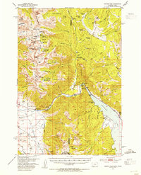
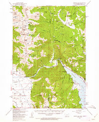
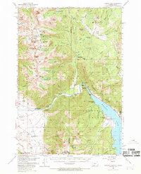
Editions of this 1950 Hebgen Dam Map
7 editions found
Other maps of this area

1888 · Three Forks
USGS Topo · 1:250,000

1894 · Three Forks
USGS Topo · 1:250,000

1895 · Three Forks
USGS Topo · 1:250,000

1947 · Bozeman
USGS Topo · 1:250,000

1948 · Bozeman
USGS Topo · 1:250,000

1950 · Cliff Lake
USGS Topo · 1:62,500

1950 · Hebgen Dam
USGS Topo · 1:62,500

1950 · Cameron
USGS Topo · 1:62,500

1950 · Sphinx Mountain
USGS Topo · 1:62,500

1950 · Upper Red Rock Lake
USGS Topo · 1:62,500