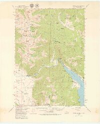
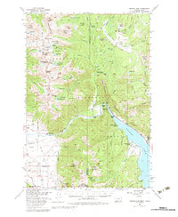
1950 Map of Hebgen Dam
USGS Topo · Published 1979About this map
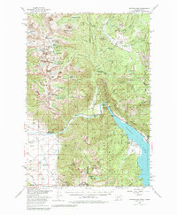
The Hebgen Dam controls the flow of the Madison River in this 1950s-era study, a period when the surrounding Gallatin National Forest served as a hybrid landscape of industry, recreation, and remote ranching. The mapping captures the area just before the transformative 1959 earthquake, detailing the original shoreline and drainage patterns around Lake Hebgen Lodge and Hilgard Lodge. While the peaks of the Gallatin Range, such as Hilgard Peak, dominate the topography, the valley floors reveal a network of human activity including the Olifee Ranch and Stagger Ranch. An Asbestos Mine (Inactive) and the Beaver Creek Ranger Station highlight the federal and industrial presence in the high country, while the inclusion of a Landing Strip near Watkins Creek Ranch speaks to the logistical challenges of this high-elevation terrain during the mid-century.
Find a feature on this map
111 named features on this map. Tap any name to fly to it.
Don’t see what you’re looking for? This feature index may not catch every label — zoom into the map to look around manually.
Map Details
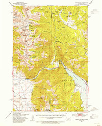
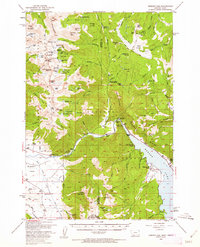
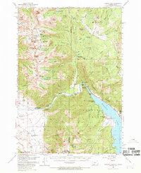
Editions of this 1950 Hebgen Dam Map
7 editions found
Other maps of this area

1888 · Three Forks
USGS Topo · 1:250,000

1894 · Three Forks
USGS Topo · 1:250,000

1895 · Three Forks
USGS Topo · 1:250,000

1947 · Bozeman
USGS Topo · 1:250,000

1948 · Bozeman
USGS Topo · 1:250,000

1950 · Cliff Lake
USGS Topo · 1:62,500

1950 · Hebgen Dam
USGS Topo · 1:62,500

1950 · Cameron
USGS Topo · 1:62,500

1950 · Sphinx Mountain
USGS Topo · 1:62,500

1950 · Upper Red Rock Lake
USGS Topo · 1:62,500