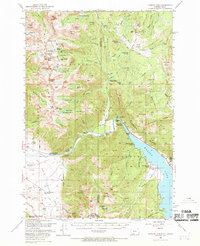
1950 Map of Hebgen Dam
USGS Topo · Published 1969About this map
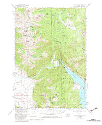
Hebgen Lake serves as the focal point for this survey, which captures the high-country landscape of the Gallatin Range and the Madison National Forest just before the 1959 Hebgen Lake earthquake. The map illustrates a developed recreational and ranching economy along the Madison River corridor, featuring landmarks like the Beaver Creek Ranger Station, Campfire Lodge, and Halford Camp. High-altitude terrain is meticulously detailed, from the peaks of Sentinel Peak and Hilgard Peak down to the basins of Little Sunlight Basin and Sage Basin. A network of pack trails, including a notably long Pack Trail through the Gallatin National Forest, connects isolated ranching operations like Olifee Ranch, Stagger Ranch, and Shaw Ranch, providing a window into the remote agricultural and wilderness management of mid-century Montana.
Find a feature on this map
107 named features on this map. Tap any name to fly to it.
Don’t see what you’re looking for? This feature index may not catch every label — zoom into the map to look around manually.
Map Details
Editions of this 1950 Hebgen Dam Map
7 editions found
Other maps of this area

1888 · Three Forks
USGS Topo · 1:250,000

1894 · Three Forks
USGS Topo · 1:250,000

1895 · Three Forks
USGS Topo · 1:250,000

1947 · Bozeman
USGS Topo · 1:250,000

1948 · Bozeman
USGS Topo · 1:250,000

1950 · Cliff Lake
USGS Topo · 1:62,500

1950 · Hebgen Dam
USGS Topo · 1:62,500

1950 · Cameron
USGS Topo · 1:62,500

1950 · Sphinx Mountain
USGS Topo · 1:62,500

1950 · Upper Red Rock Lake
USGS Topo · 1:62,500