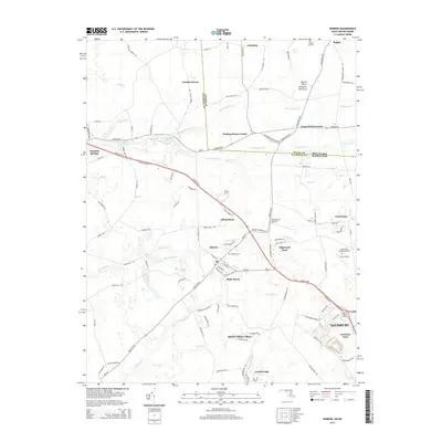
2014 Map of Hebron
USGS Topo · Published 2014About this map
Hebron sits at the heart of this landscape on the Eastern Shore Delmarva Peninsula, where the boundary between Maryland and Delaware cuts across the northern fields. The 2014 survey shows a region defined by agricultural heritage and water, with drainage networks like Barren Cr and Quantico Cr winding through the low-lying terrain. To the southeast, the outskirts of Salisbury begin to appear, including Newland Park and the residential layout of Edgewood Park. Smaller historic settlements such as Mardela Springs and Belle Haven are linked by the Ocean Gtwy, while localized landmarks like the Spring Hill Memorial Garden and Hebron Cem provide vital points for genealogical research. The map also captures aviation sites like Spring Hill Airport and Tim's Airport, reflecting the rural infrastructure of Wicomico County.
Find a feature on this map
110 named features on this map. Tap any name to fly to it.
Don’t see what you’re looking for? This feature index may not catch every label — zoom into the map to look around manually.
Map Details
Editions of this 2014 Hebron Map
This is the sole edition of this map. No revisions or reprints were ever made.
Other maps of this area

1901 · Salisbury
USGS Topo · 1:62,500

1903 · Nanticoke
USGS Topo · 1:62,500

1905 · Hurlock
USGS Topo · 1:62,500

1915 · Seaford
USGS Topo · 1:62,500

1942 · Wetipquin
USGS Topo · 1:24,000

1942 · Mardela Springs
USGS Topo · 1:24,000

1942 · Eden
USGS Topo · 1:24,000

1942 · Hebron
USGS Topo · 1:24,000

1942 · Salisbury
USGS Topo · 1:24,000

1942 · Delmar
USGS Topo · 1:24,000