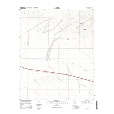
2015 Map of Hector
USGS Topo · Published 2015About this map
The Hector settlement occupies a central position within this section of the Mojave Desert, serving as a localized point of activity amid a landscape defined by expansive desert floors and the rising elevations of the Cady Mountains to the north. This mid-2010s survey illustrates a stark desert environment where infrastructure is concentrated along a narrow east-west corridor. A major interstate and railroad line bisect the quadrangle, facilitating transit through San Bernardino County while leaving the surrounding terrain largely undeveloped. To the southeast, Pisgah Crater Rd leads away from the primary highway into the open desert, marking one of the few improved routes providing access to the volcanic landscape nearby. The map's township and range grids, including t9n r5e and t8n r6e, provide a structured framework for identifying land tracts in this arid region.
Find a feature on this map
8 named features on this map. Tap any name to fly to it.
Don’t see what you’re looking for? This feature index may not catch every label — zoom into the map to look around manually.
Map Details
Editions of this 2015 Hector Map
This is the sole edition of this map. No revisions or reprints were ever made.
Other maps of this area

1953 · San Bernardino
USGS Topo · 1:250,000

1955 · Silver Bell Mine
USGS Topo · 1:24,000

1955 · Sunshine Peak
USGS Topo · 1:24,000

1955 · Lavic Lake
USGS Topo · 1:24,000

1955 · Newberry
USGS Topo · 1:62,500

1955 · Lavic
USGS Topo · 1:62,500

1955 · Cady Mountains
USGS Topo · 1:62,500

1955 · Rodman Mountains
USGS Topo · 1:62,500

1956 · San Bernardino
USGS Topo · 1:250,000

1957 · San Bernardino
USGS Topo · 1:250,000