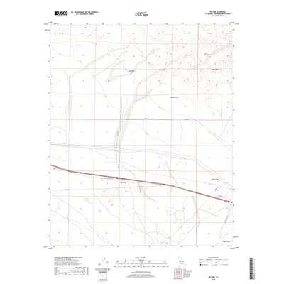
2018 Map of Hector
USGS Topo · Published 2018About this map
Hector serves as the central point of activity in this arid corridor of the Mojave Desert during the late 2010s. The landscape is defined by the sharp transition between the volcanic rise of Pisgah Crater in the southeast and the rugged elevations of the Cady Mountains to the north. Transportation infrastructure dominates the topography, centered on the historic corridor of the National Trails Hwy, which runs parallel to modern transit routes and the utility path of Pipe Line Rd. This survey captures the sparse desert infrastructure of San Bernardino County, where secondary routes like Hector Rd and Pisgah Rd provide the primary access to mining claims and remote township sections. The map preserves the exact layout of township and range lines across this volcanic terrain, illustrating the grid-based management of one of the county's most distinctive geological areas.
Find a feature on this map
17 named features on this map. Tap any name to fly to it.
Don’t see what you’re looking for? This feature index may not catch every label — zoom into the map to look around manually.
Map Details
Editions of this 2018 Hector Map
This is the sole edition of this map. No revisions or reprints were ever made.
Other maps of this area

1953 · San Bernardino
USGS Topo · 1:250,000

1955 · Silver Bell Mine
USGS Topo · 1:24,000

1955 · Sunshine Peak
USGS Topo · 1:24,000

1955 · Lavic Lake
USGS Topo · 1:24,000

1955 · Newberry
USGS Topo · 1:62,500

1955 · Lavic
USGS Topo · 1:62,500

1955 · Cady Mountains
USGS Topo · 1:62,500

1955 · Rodman Mountains
USGS Topo · 1:62,500

1956 · San Bernardino
USGS Topo · 1:250,000

1957 · San Bernardino
USGS Topo · 1:250,000