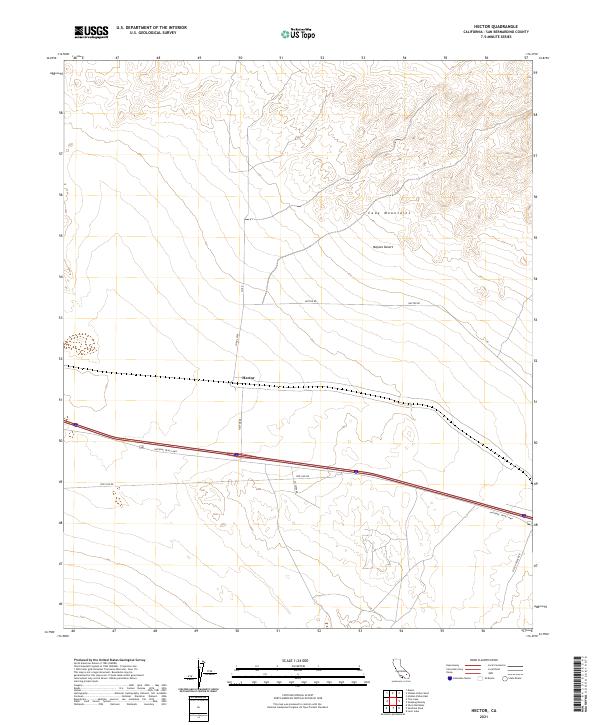
2021 Map of Hector
USGS Topo · Published 2021About this map
Hector serves as the central point of interest on this sheet, situated along a vital transportation corridor in the Mojave Desert. The landscape is dominated by the southern reaches of the Cady Mountains to the north, which give way to the arid flats where infrastructure follows the natural topography. Significant modern and historical routes intersect here, including the iconic National Trails Hwy, which parallels the major interstate through the region. This 2021 survey illustrates the continued importance of utility and service roads in the high desert, such as Pipe Line Rd and Hector Rd, which facilitate access across the township lines of t9n r5e and t8n r5e. To the southeast, Pisgah Crater Rd leads toward prominent volcanic features just off the map's edge, highlighting the area's unique geological character.
Find a feature on this map
14 named features on this map. Tap any name to fly to it.
Don’t see what you’re looking for? This feature index may not catch every label — zoom into the map to look around manually.
Map Details
Editions of this 2021 Hector Map
This is the sole edition of this map. No revisions or reprints were ever made.
Other maps of this area

1953 · San Bernardino
USGS Topo · 1:250,000

1955 · Silver Bell Mine
USGS Topo · 1:24,000

1955 · Sunshine Peak
USGS Topo · 1:24,000

1955 · Lavic Lake
USGS Topo · 1:24,000

1955 · Newberry
USGS Topo · 1:62,500

1955 · Lavic
USGS Topo · 1:62,500

1955 · Cady Mountains
USGS Topo · 1:62,500

1955 · Rodman Mountains
USGS Topo · 1:62,500

1956 · San Bernardino
USGS Topo · 1:250,000

1957 · San Bernardino
USGS Topo · 1:250,000