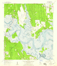
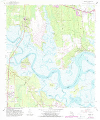
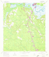
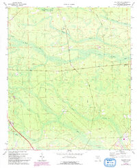
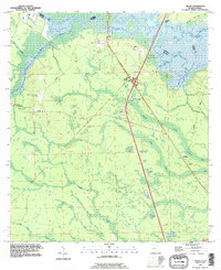
1958 Map of Hedges
USGS Topo · Published 1959This historical map portrays the area of Hedges in 1958, primarily covering Nassau County as well as portions of Duval County. Featuring a scale of 1:24000, this map provides a highly detailed snapshot of the terrain, roads, buildings, counties, and historical landmarks in the Hedges region at the time. Published in 1959, it is one of 6 known editions of this map due to revisions or reprints.
Find a feature on this map
53 named features on this map. Tap any name to fly to it.
Don’t see what you’re looking for? This feature index may not catch every label — zoom into the map to look around manually.
Map Details
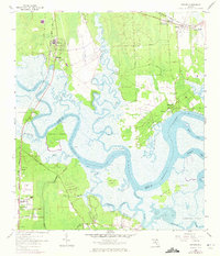
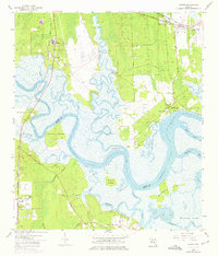
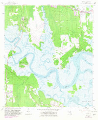
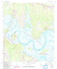
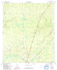
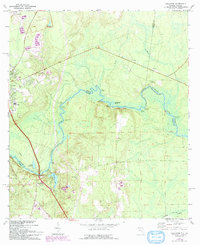
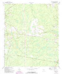
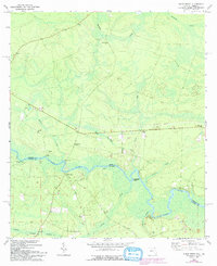
Editions of this 1958 Hedges Map
6 editions found
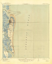
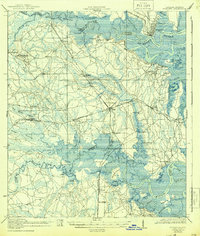
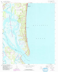
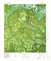
Historical Maps of Nassauville Through Time
14 maps found

1918 St Marys
Nassau County, FL
1919 Fernandina
Nassau County, FL
1919 St Marys
Nassau County, FL

1944 Fernandina
Nassau County, FL
1958 Amelia City
Nassau County, FL
1958 Gross
Nassau County, FL
1958 Hedges
Nassau County, FL
1964 Bryceville
Nassau County, FL
1970 Boulogne
Nassau County, FL
1970 Hilliard NE
Nassau County, FL
1970 Hilliard SW
Nassau County, FL
1970 Kings Ferry
Nassau County, FL
1979 Gross
Nassau County, FL
1993 Gross
Nassau County, FL