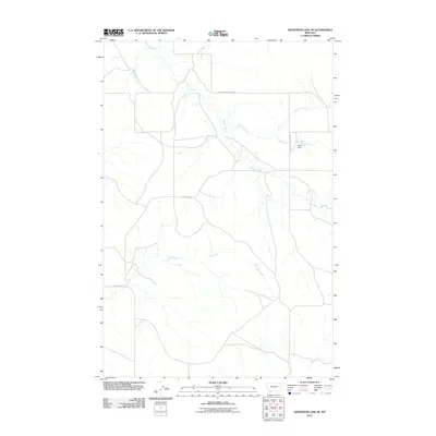
2011 Map of Hedstrom Lake SE
USGS Topo · Published 2011About this map
Timber Creek and its many tributaries, including Slinker Creek and Chalk Butte Creek, carve a branching drainage pattern across this Garfield County landscape. The area is defined by a sparse network of prairie roads, most notably Big Sheep Mountain Rd and Crow Rock Rd, which follow the higher ground between the creek beds. A rare point of water management in this dry environment is found at Swift Dam, which regulates flow along one of the Slinker Creek branches. Further south, the map follows the course of Tree Creek as it winds through the southern reaches of the quadrangle. This 2011 survey illustrates the persistent isolation of the Montana plains, where infrastructure is limited to essential ranching routes and water-retention features that support the regional cattle-grazing economy.
Find a feature on this map
8 named features on this map. Tap any name to fly to it.
Don’t see what you’re looking for? This feature index may not catch every label — zoom into the map to look around manually.
Map Details
Editions of this 2011 Hedstrom Lake SE Map
This is the sole edition of this map. No revisions or reprints were ever made.
Other maps of this area

1953 · Miles City
USGS Topo · 1:250,000

1954 · Jordan
USGS Topo · 1:250,000

1954 · Forsyth
USGS Topo · 1:250,000

1954 · Glendive
USGS Topo · 1:250,000

1956 · Jordan
USGS Topo · 1:250,000

1957 · Miles City
USGS Topo · 1:250,000

1957 · Glendive
USGS Topo · 1:250,000

1957 · Forsyth
USGS Topo · 1:250,000

1958 · Miles City
USGS Topo · 1:250,000

1958 · Jordan
USGS Topo · 1:250,000