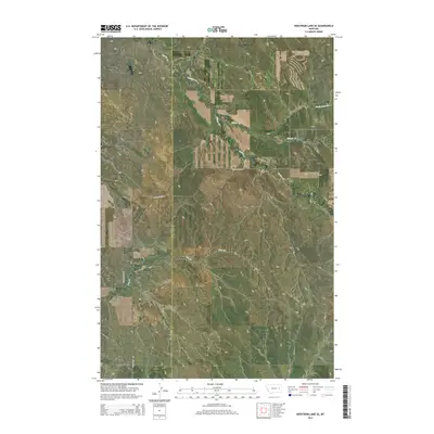
2014 Map of Hedstrom Lake SE
USGS Topo · Published 2014About this map
Garfield and Prairie County borders define this portion of Eastern Montana, capturing a landscape characterized by deep drainage systems and isolated creek beds. The drainage of Timber Cr and Chalk Butte Cr snakes through the high plains, where the terrain is punctuated by significant local depressions known as coulees. Notable geographic landmarks like Beaver Coulee and Tree Coulee dominate the central and southern reaches, illustrating the erosional patterns of this high-elevation plateau. Grounded in a sparse network of section lines and gravel paths, transportation is limited to routes like Timber Creek Rd and Crow Rock Rd. This map reflects the vast, open-range character of the region as it existed in the early 21st century, where large tracts of land remain defined primarily by watercourses like Slinker Cr and Tree Cr rather than dense settlement.
Find a feature on this map
16 named features on this map. Tap any name to fly to it.
Don’t see what you’re looking for? This feature index may not catch every label — zoom into the map to look around manually.
Map Details
Editions of this 2014 Hedstrom Lake SE Map
This is the sole edition of this map. No revisions or reprints were ever made.
Other maps of this area

1953 · Miles City
USGS Topo · 1:250,000

1954 · Jordan
USGS Topo · 1:250,000

1954 · Forsyth
USGS Topo · 1:250,000

1954 · Glendive
USGS Topo · 1:250,000

1956 · Jordan
USGS Topo · 1:250,000

1957 · Miles City
USGS Topo · 1:250,000

1957 · Glendive
USGS Topo · 1:250,000

1957 · Forsyth
USGS Topo · 1:250,000

1958 · Miles City
USGS Topo · 1:250,000

1958 · Jordan
USGS Topo · 1:250,000