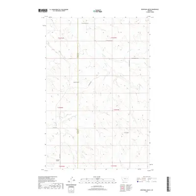
2020 Map of Hedstrom Lake SE
USGS Topo · Published 2020About this map
The high plains of eastern Montana meet at the Garfield Co and Prairie Co line, where the land is defined by a dendritic network of ephemeral drainages and intermittent streams. This modern topographical study illustrates a sparsely populated landscape where human presence is primarily marked by long-distance gravel routes like Big Sheep Mountain Rd and Crow Rock Rd. The terrain is deeply incised by multiple coulees, including Beaver Coulee, Tree Coulee, and Neuhardt Coulee, which serve as the primary geographical landmarks in this open country.
Find a feature on this map
17 named features on this map. Tap any name to fly to it.
Don’t see what you’re looking for? This feature index may not catch every label — zoom into the map to look around manually.
Map Details
Editions of this 2020 Hedstrom Lake SE Map
This is the sole edition of this map. No revisions or reprints were ever made.
Other maps of this area

1953 · Miles City
USGS Topo · 1:250,000

1954 · Jordan
USGS Topo · 1:250,000

1954 · Forsyth
USGS Topo · 1:250,000

1954 · Glendive
USGS Topo · 1:250,000

1956 · Jordan
USGS Topo · 1:250,000

1957 · Miles City
USGS Topo · 1:250,000

1957 · Glendive
USGS Topo · 1:250,000

1957 · Forsyth
USGS Topo · 1:250,000

1958 · Miles City
USGS Topo · 1:250,000

1958 · Jordan
USGS Topo · 1:250,000