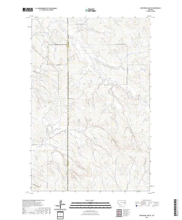
2024 Map of Hedstrom Lake SE
USGS Topo · Published 2024About this map
The Garfield Co Prairie Co boundary divides this expansive section of Eastern Montana, where the drainage systems of Timber Creek and its tributaries define the landscape. This 2024 survey captures a quiet rangeland crisscrossed by several prominent seasonal watercourses, including Slinker Creek, Chalk Butte Creek, and Tree Creek. The terrain is marked by distinct coulees such as Beaver Coulee and Tree Coulee, which provide significant relief to the high plains. A sparse network of unpaved local connectors, notably Big Sheep Mountain Rd and Timber Creek Rd, serves as the primary infrastructure through these remote townships. For those researching local land use or family holdings near the county line, this modern topographic study preserves the exact layout of the watershed and the critical access roads that navigate the complex coulee systems of Neuhardt Coulee and beyond.
Find a feature on this map
17 named features on this map. Tap any name to fly to it.
Don’t see what you’re looking for? This feature index may not catch every label — zoom into the map to look around manually.
Map Details
Editions of this 2024 Hedstrom Lake SE Map
This is the sole edition of this map. No revisions or reprints were ever made.
Other maps of this area

1953 · Miles City
USGS Topo · 1:250,000

1954 · Jordan
USGS Topo · 1:250,000

1954 · Forsyth
USGS Topo · 1:250,000

1954 · Glendive
USGS Topo · 1:250,000

1956 · Jordan
USGS Topo · 1:250,000

1957 · Miles City
USGS Topo · 1:250,000

1957 · Glendive
USGS Topo · 1:250,000

1957 · Forsyth
USGS Topo · 1:250,000

1958 · Miles City
USGS Topo · 1:250,000

1958 · Jordan
USGS Topo · 1:250,000