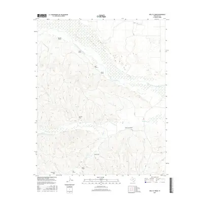
2016 Map of Heel Fly Draw
USGS Topo · Published 2016About this map
The Prairie Dog Town Fork Red River carves a significant course through this portion of Hall County, defining a landscape shaped by complex drainage systems and canyon formations. The topography is marked by numerous named draws and canyons, such as Heel Fly Draw and Big Tank Canyon, which feed into the river systems. To the south, the Little Red River and its tributaries, including Wildcat Cr and Panther Cr, demonstrate the intricate hydrological network of the Texas Panhandle. Local land use is characterized by rural infrastructure, with a grid of county roads like Co RD 10 and Co RD 12 providing access to remote water features like Deep Lake and Heel Fly Tank. This 2016 survey illustrates the persistent ranching and geographic character of the region, where family and place names like Jones Canyon and Mullin Canyon remain fixed to the land.
Find a feature on this map
26 named features on this map. Tap any name to fly to it.
Don’t see what you’re looking for? This feature index may not catch every label — zoom into the map to look around manually.
Map Details
Editions of this 2016 Heel Fly Draw Map
This is the sole edition of this map. No revisions or reprints were ever made.
Other maps of this area

1954 · Plainview
USGS Topo · 1:250,000

1958 · Plainview
USGS Topo · 1:250,000

1960 · Brice
USGS Topo · 1:62,500

1961 · Memphis
USGS Topo · 1:62,500

1967 · Tampico Siding
USGS Topo · 1:24,000

1967 · Turkey
USGS Topo · 1:24,000

1967 · Blue Tank Canyon
USGS Topo · 1:24,000

1976 · Brice SE
USGS Topo · 1:24,000

1976 · Brice NW
USGS Topo · 1:24,000

1976 · Memphis NW
USGS Topo · 1:24,000