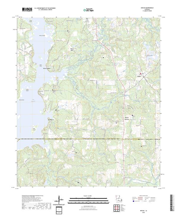
2024 Map of Heflin
USGS Topo · Published 2024About this map
The eastern shores of Lake Bistineau define the character of this Webster and Bienville Parish borderland, where the wooded terrain transitions into the waters of Toulon Bayou and several named islands. Smaller settlements and landings such as Port Boliver and Noles Landing dot the waterfront, while the town of Heflin serves as the primary hub in the northeast corner. This modern survey maps the enduring rural landscape of northwest Louisiana, showing a high concentration of family and community burial grounds, including the Mercer Marker Cem and Tomlinson Cem.
Find a feature on this map
112 named features on this map. Tap any name to fly to it.
Don’t see what you’re looking for? This feature index may not catch every label — zoom into the map to look around manually.
Map Details
Editions of this 2024 Heflin Map
This is the sole edition of this map. No revisions or reprints were ever made.
Other maps of this area

1941 · Bossier Point
USGS Topo · 1:31,680

1947 · Ringgold
USGS Topo · 1:62,500

1947 · Minden
USGS Topo · 1:62,500

1948 · Jamestown
USGS Topo · 1:62,500

1949 · Jamestown
USGS Topo · 1:62,500

1949 · Minden
USGS Topo · 1:62,500

1949 · Gibsland
USGS Topo · 1:62,500

1950 · Gibsland
USGS Topo · 1:62,500

1955 · Shreveport
USGS Topo · 1:250,000

1956 · Shreveport
USGS Topo · 1:250,000