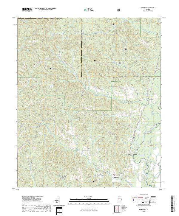
2024 Map of Heiberger
USGS Topo · Published 2024About this map
Talladega National Forest spans the upper half of this landscape, where the wooded ridges are cut by the winding Cahaba River. The river forms a major drainage corridor in the east, joined by tributaries such as Old Town Creek and Wallace Creek as they move through the undulating terrain of Cave Mtn. This area of Alabama is defined by its small crossroads and family-named landmarks, most notably the settlements of Heiberger, Jericho, and Ellards.
Find a feature on this map
52 named features on this map. Tap any name to fly to it.
Don’t see what you’re looking for? This feature index may not catch every label — zoom into the map to look around manually.
Map Details
Editions of this 2024 Heiberger Map
This is the sole edition of this map. No revisions or reprints were ever made.
Other maps of this area

1953 · Montgomery
USGS Topo · 1:250,000

1956 · Montgomery
USGS Topo · 1:250,000

1957 · Montgomery
USGS Topo · 1:250,000

1959 · Summerfield
USGS Topo · 1:62,500

1979 · Marion North
USGS Topo · 1:24,000

1979 · Morgan Springs
USGS Topo · 1:24,000

1979 · Harrisburg
USGS Topo · 1:24,000

1979 · Pondville
USGS Topo · 1:24,000

1980 · Payne Lake
USGS Topo · 1:24,000
1980 · Centreville West
USGS Topo · 1:24,000