2024 Map of Heil
USGS Topo · Published 2024About this map
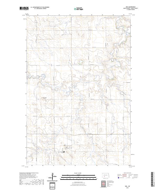
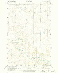
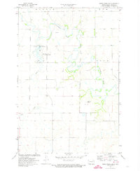
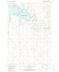
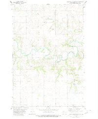
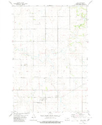
Heil sits at the heart of this landscape, a small settlement defined by its grid-patterned gravel roads and quiet rural surroundings. The geography is primarily shaped by the winding course of Antelope Creek, which meanders through the plains and provides a natural contrast to the geometric Public Land Survey System lines. Local heritage is concentrated south of the town center at Prairie View Cem and Peace Cem, two sites that offer significant value for genealogists tracing early families in Grant County. To the west, Elm Butte rises as a distinct topographical landmark, breaking the steady profile of the prairie. The region's infrastructure is dominated by a systematic network of section-line roads, such as 70th St SW and 62nd Ave SW, illustrating the enduring influence of the township and range system on North Dakota's physical and social organization.
Find a feature on this map
23 named features on this map. Tap any name to fly to it.
Don’t see what you’re looking for? This feature index may not catch every label — zoom into the map to look around manually.
Map Details
Editions of this 2024 Heil Map
This is the sole edition of this map. No revisions or reprints were ever made.
Other maps of this area
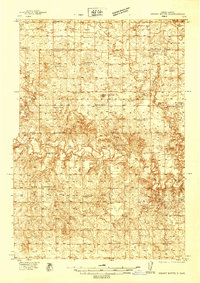
1938 · Heart Butte
USGS Topo · 1:48,000
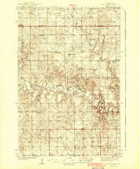
1944 · Heart Butte
USGS Topo · 1:62,500

1954 · Bismarck
USGS Topo · 1:250,000

1958 · Bismarck
USGS Topo · 1:250,000
1972 · Carson SE
USGS Topo · 1:24,000
1972 · Leith
USGS Topo · 1:24,000
1972 · Sheep Creek Dam
USGS Topo · 1:24,000
1980 · Lake Tschida East
USGS Topo · 1:24,000
1980 · Crown Butte Creek SE
USGS Topo · 1:24,000
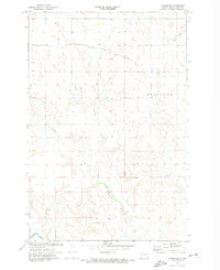
1980 · Heil
USGS Topo · 1:24,000