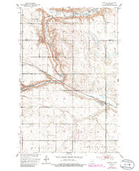
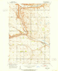
1951 Map of Heimdal
USGS Topo · Published 1986About this map
Heimdal serves as the primary hub of this Wells County landscape, situated along the Burlington Northern railroad. The topography is defined by the winding course of the Sheyenne River and its North Fork, which cut through the northern and central sections of the quadrangle. This mid-century survey reveals a distributed rural community anchored by local institutions, including North Fork Sch No 2 and several houses of worship such as Klara Ch, Bethel Ch, and Hoff Ch. The presence of the Bethania Cem and a modest Gravel Pit further illustrate the local economy and genealogy of the era. The land is punctuated by significant depressions and drainage features like Big Slough, characteristic of the glacial terrain found along the county line between Benson and Wells counties.
Find a feature on this map
16 named features on this map. Tap any name to fly to it.
Don’t see what you’re looking for? This feature index may not catch every label — zoom into the map to look around manually.
Map Details
Editions of this 1951 Heimdal Map
2 editions found
Other maps of this area

1941 · Selz
USGS Topo · 1:62,500

1943 · Maddock
USGS Topo · 1:62,500

1945 · Maddock
USGS Topo · 1:62,500

1945 · Manfred
USGS Topo · 1:62,500

1948 · Fessenden
USGS Topo · 1:62,500

1948 · Manfred
USGS Topo · 1:62,500

1949 · Fessenden East
USGS Topo · 1:24,000

1949 · Fessenden West
USGS Topo · 1:24,000

1950 · Wellsburg
USGS Topo · 1:24,000

1950 · Manfred
USGS Topo · 1:24,000