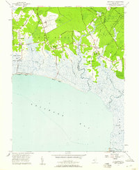
1957 Map of Heislerville
USGS Topo · Published 1958About this map
Maurice River flows along the western edge of this coastal landscape, where the tides of Delaware Bay meet the intricate marshlands of southern New Jersey. The map highlights a distinct transition from the agricultural and institutional grounds of the Prison Farm near Leesburg and Delmont to the expansive State Hunting and Fishing Grounds. Along the shoreline, small settlements and landings like Thompson Beach and Moores Beach sit at the end of isolated roads, while further inland, the Belleplain State Forest covers the eastern reaches near Eldora. The hydrology of the region is exceptionally detailed, featuring a network of man-made and natural waterways including Riggin Ditch, Langley Ditch, and Pickle Factory Pond. Transportation is defined by routes such as Delsea Drive and the remnant path of an Old RR Grade, illustrating the area's historical reliance on both rail and coastal roads.
Find a feature on this map
50 named features on this map. Tap any name to fly to it.
Don’t see what you’re looking for? This feature index may not catch every label — zoom into the map to look around manually.
Map Details
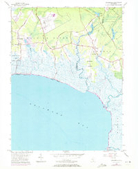
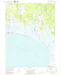
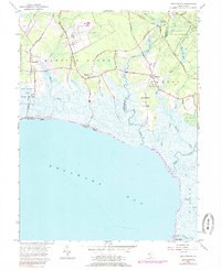
Editions of this 1957 Heislerville Map
4 editions found
Other maps of this area

1888 · Dennisville
USGS Topo · 1:62,500

1890 · Tuckahoe
USGS Topo · 1:62,500

1890 · Maurice Cove
USGS Topo · 1:62,500

1890 · Bridgeton
USGS Topo · 1:62,500

1891 · Maurice Cove
USGS Topo · 1:62,500

1893 · Tuckahoe
USGS Topo · 1:62,500

1894 · Dennisville
USGS Topo · 1:62,500

1894 · Bridgeton
USGS Topo · 1:62,500

1899 · Vineland
USGS Topo · 1:125,000

1918 · Tuckahoe
USGS Topo · 1:62,500
Featured Places
- Middle Township, NJ
- Maurice River Township, NJ
- Dennis Township, NJ
- Delmont, Maurice River Township
- Heislerville, Maurice River Township