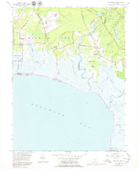
1957 Map of Heislerville
USGS Topo · Published 1979About this map
The State Prison Farm and the surrounding marshy lowlands of the Maurice River township define this coastal New Jersey landscape during the mid-20th century. Extensive wetlands, carved by the Riggins Ditch and West Creek, separate the established settlements of Heislerville and Delmont from the Delaware Bay shoreline. Along the coast, small outposts like Thompsons Beach and Moores Beach provide access to the water, while the interior is dominated by the sprawling Belleplain State Forest and the State Hunting and Fishing Grounds. The map reveals a localized industrial and educational infrastructure, including Hands Millpond, the Pickle Factory Pond, and the Eldora Sch in the village of Eldora. The transition from forest to salt marsh is marked by the Old Grade RR and a network of rural routes such as Delsea Drive, showing the era's transport patterns before modern coastal development intensified.
Find a feature on this map
45 named features on this map. Tap any name to fly to it.
Don’t see what you’re looking for? This feature index may not catch every label — zoom into the map to look around manually.
Map Details
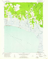
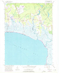
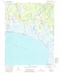
Editions of this 1957 Heislerville Map
4 editions found
Other maps of this area

1888 · Dennisville
USGS Topo · 1:62,500

1890 · Tuckahoe
USGS Topo · 1:62,500

1890 · Maurice Cove
USGS Topo · 1:62,500

1890 · Bridgeton
USGS Topo · 1:62,500

1891 · Maurice Cove
USGS Topo · 1:62,500

1893 · Tuckahoe
USGS Topo · 1:62,500

1894 · Dennisville
USGS Topo · 1:62,500

1894 · Bridgeton
USGS Topo · 1:62,500

1899 · Vineland
USGS Topo · 1:125,000

1918 · Tuckahoe
USGS Topo · 1:62,500
Featured Places
- Middle Township, NJ
- Maurice River Township, NJ
- Dennis Township, NJ
- Delmont, Maurice River Township
- Heislerville, Maurice River Township