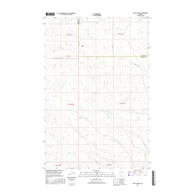
2017 Map of Heitz School
USGS Topo · Published 2017About this map
Heitz School sits at the intersection of local rangeland roads in this part of eastern Montana, where the boundary between McCone and Prairie Counties is defined by a series of sections and townships. The landscape is characterized by a complex drainage system that feeds into the Redwater River in the northeast and the various branches of Timber Creek to the south. Notable elevations include the topographic rise of Chalk Butte, which overlooks its namesake Chalk Butte Creek. The road network, including Big Sheep Mountain Road and Chalk Butte Road, follows the natural contours of the terrain, providing access to this sparsely populated region of the northern plains. This survey captures the rural infrastructure of the area, detailing the headwaters of numerous seasonal drainages like Slinker Creek and Hay Creek as they weave through the surrounding cattle country.
Find a feature on this map
22 named features on this map. Tap any name to fly to it.
Don’t see what you’re looking for? This feature index may not catch every label — zoom into the map to look around manually.
Map Details
Editions of this 2017 Heitz School Map
This is the sole edition of this map. No revisions or reprints were ever made.
Other maps of this area

1953 · Miles City
USGS Topo · 1:250,000

1954 · Jordan
USGS Topo · 1:250,000

1954 · Forsyth
USGS Topo · 1:250,000

1954 · Glendive
USGS Topo · 1:250,000

1956 · Jordan
USGS Topo · 1:250,000

1957 · Miles City
USGS Topo · 1:250,000

1957 · Glendive
USGS Topo · 1:250,000

1957 · Forsyth
USGS Topo · 1:250,000

1958 · Miles City
USGS Topo · 1:250,000

1958 · Jordan
USGS Topo · 1:250,000