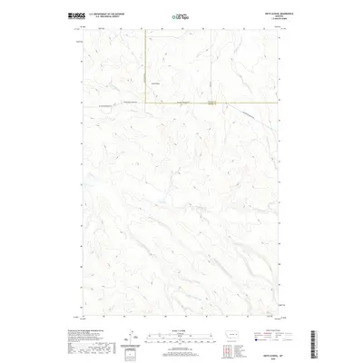
2020 Map of Heitz School
USGS Topo · Published 2020About this map
Heitz School (historical) marks a quiet corner of eastern Montana where the landscape is defined by the complex drainage systems of the Redwater River and Timber Cr. Situated along the border of McCone and Prairie Counties, this area reveals a network of intermittent streams and coulees, including Chalk Butte Cr, Slinker Cr, and Hay Cr. The terrain is punctuated by the prominence of Chalk Butte, which serves as a significant landmark in this section of the High Plains.
Find a feature on this map
22 named features on this map. Tap any name to fly to it.
Don’t see what you’re looking for? This feature index may not catch every label — zoom into the map to look around manually.
Map Details
Editions of this 2020 Heitz School Map
This is the sole edition of this map. No revisions or reprints were ever made.
Other maps of this area

1953 · Miles City
USGS Topo · 1:250,000

1954 · Jordan
USGS Topo · 1:250,000

1954 · Forsyth
USGS Topo · 1:250,000

1954 · Glendive
USGS Topo · 1:250,000

1956 · Jordan
USGS Topo · 1:250,000

1957 · Miles City
USGS Topo · 1:250,000

1957 · Glendive
USGS Topo · 1:250,000

1957 · Forsyth
USGS Topo · 1:250,000

1958 · Miles City
USGS Topo · 1:250,000

1958 · Jordan
USGS Topo · 1:250,000