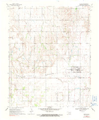
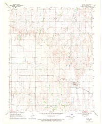
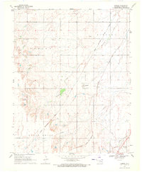
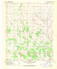
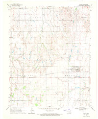
1969 Map of Helena
USGS Topo · Published 1991About this map
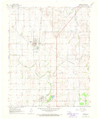
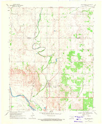
The town of Helena serves as the central hub of this Alfalfa County survey, situated at the junction of local rural life and state-level infrastructure. The landscape is marked by the presence of the St Louis-San Francisco railroad line, which passes through the community and the neighboring settlement of McWillie. Educational and civic life is anchored by the High Sch and the expansive grounds of the State School for Boys on the eastern edge of town.
Find a feature on this map
22 named features on this map. Tap any name to fly to it.
Don’t see what you’re looking for? This feature index may not catch every label — zoom into the map to look around manually.
Map Details
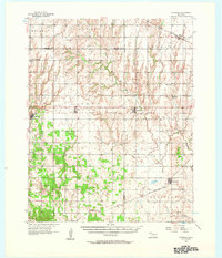
Editions of this 1969 Helena Map
2 editions found
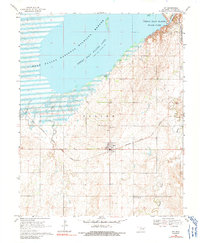
Other maps of this area

1955 · Woodward
USGS Topo · 1:250,000
1956 · Ringwood
USGS Topo · 1:62,500

1958 · Woodward
USGS Topo · 1:250,000
1968 · Carmen
USGS Topo · 1:24,000
1969 · Jet
USGS Topo · 1:24,000
1969 · Goltry
USGS Topo · 1:24,000
1969 · Lambert
USGS Topo · 1:24,000
1969 · Fairview NE
USGS Topo · 1:24,000
1969 · Helena
USGS Topo · 1:24,000
1969 · Cleo Springs
USGS Topo · 1:24,000