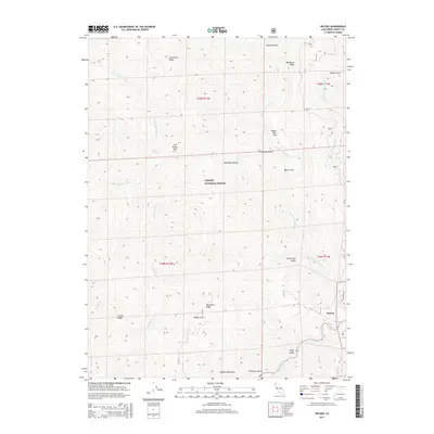
2015 Map of Helena
USGS Topo · Published 2015About this map
Helena sits at the confluence of several major waterways within the Trinity National Forest, where the N Fork Trinity River meets the Trinity River. This landscape is defined by the steep southern reaches of the Salmon Mountains, featuring dramatic elevation changes between the riverbeds and high points like Twin Sisters Mtn. The settlement of Helena is accessed via Cemetery Rd, pointing to the area's local heritage and long-standing presence in the canyon. Numerous gulches and flats, such as Digger Pine Flat and Raymond Flat, suggest a geography that shaped travel and habitation along the river forks. Prominent ridges like Limestone Ridge, Backbone Ridge, and Manzanita Ridge compartmentalize the terrain, while various creeks including Manzanita Cr and Little French Cr drain the surrounding wilderness.
Find a feature on this map
32 named features on this map. Tap any name to fly to it.
Don’t see what you’re looking for? This feature index may not catch every label — zoom into the map to look around manually.
Map Details
Editions of this 2015 Helena Map
This is the sole edition of this map. No revisions or reprints were ever made.
Other maps of this area
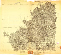
1909 · Big Bar
USGS Topo · 1:96,000
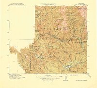
1915 · Big Bar and Vicinity
USGS Topo · 1:250,000
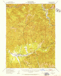
1951 · Hayfork
USGS Topo · 1:62,500
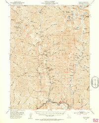
1951 · Helena
USGS Topo · 1:62,500
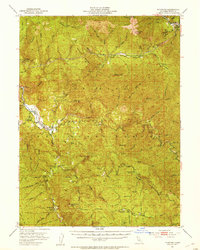
1951 · Hyampom
USGS Topo · 1:62,500
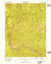
1951 · Ironside Mountain
USGS Topo · 1:62,500
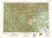
1958 · Redding
USGS Topo · 1:250,000
1982 · Mt. Hilton
USGS Topo · 1:24,000
1982 · Jim Jam Ridge
USGS Topo · 1:24,000
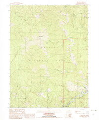
1982 · Helena
USGS Topo · 1:24,000