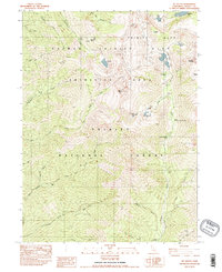
1982 Map of Mt. Hilton
USGS Topo · Published 1982About this map
Mount Hilton and the surrounding high country of the Trinity National Forest dominate this landscape, characterized by steep drainage systems and high-altitude basins. The map details the primitive backcountry of the early 1980s, where small-scale mining and seasonal camps were the primary human imprints. Evidence of the area's mineral interest is found at the Alaska Mine and McClaron Mine, while former habitation is noted at the Stonehouse (Site).
Find a feature on this map
50 named features on this map. Tap any name to fly to it.
Don’t see what you’re looking for? This feature index may not catch every label — zoom into the map to look around manually.
Map Details
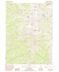
Editions of this 1982 Mt. Hilton Map
2 editions found
Other maps of this area

1886 · Shasta
USGS Topo · 1:250,000

1890 · Red Bluff
USGS Topo · 1:250,000

1894 · Red Bluff
USGS Topo · 1:250,000

1894 · Shasta
USGS Topo · 1:250,000

1909 · Big Bar
USGS Topo · 1:96,000

1913 · Weaverville
USGS Topo · 1:125,000

1915 · Big Bar and Vicinity
USGS Topo · 1:250,000

1923 · Sawyers Bar
USGS Topo · 1:125,000

1931 · Etna
USGS Topo · 1:96,000

1934 · Etna
USGS Topo · 1:125,000