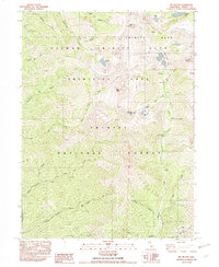
1982 Map of Mt. Hilton
USGS Topo · Published 1982About this map
Mount Hilton and the surrounding high country of the Salmon Trinity Alps Primitive Area dominate this 1982 provisional study of the Trinity National Forest. The landscape is defined by its deep canyons and alpine basins, where drainage systems like the North Fork Trinity River and Canyon Creek originate from glacial features such as the Canyon Creek Lakes, Forbidden Lakes, and the remarkably named Wedding Cake.
Find a feature on this map
47 named features on this map. Tap any name to fly to it.
Don’t see what you’re looking for? This feature index may not catch every label — zoom into the map to look around manually.
Map Details
Editions of this 1982 Mt. Hilton Map
2 editions found
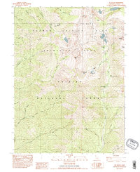
Other maps of this area

1886 · Shasta
USGS Topo · 1:250,000

1890 · Red Bluff
USGS Topo · 1:250,000

1894 · Red Bluff
USGS Topo · 1:250,000

1894 · Shasta
USGS Topo · 1:250,000

1909 · Big Bar
USGS Topo · 1:96,000

1913 · Weaverville
USGS Topo · 1:125,000

1915 · Big Bar and Vicinity
USGS Topo · 1:250,000

1923 · Sawyers Bar
USGS Topo · 1:125,000

1931 · Etna
USGS Topo · 1:96,000

1934 · Etna
USGS Topo · 1:125,000