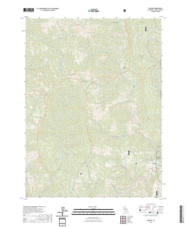
2023 Map of Helena
USGS Topo · Published 2023About this map
The Trinity Wild and Scenic River carves through this northern California landscape, meeting the North Fork Trinity River near the small settlement of Helena. Historically tied to gold mining and river commerce, the area is defined by sharp elevation changes between peaks like Twin Sisters Mtn and deep drainages such as Hobo Gulch and Cutthroat Gulch.
Find a feature on this map
41 named features on this map. Tap any name to fly to it.
Don’t see what you’re looking for? This feature index may not catch every label — zoom into the map to look around manually.
Map Details
Editions of this 2023 Helena Map
This is the sole edition of this map. No revisions or reprints were ever made.
Other maps of this area

1909 · Big Bar
USGS Topo · 1:96,000

1915 · Big Bar and Vicinity
USGS Topo · 1:250,000

1951 · Hayfork
USGS Topo · 1:62,500

1951 · Helena
USGS Topo · 1:62,500

1951 · Hyampom
USGS Topo · 1:62,500

1951 · Ironside Mountain
USGS Topo · 1:62,500

1958 · Redding
USGS Topo · 1:250,000
1982 · Mt. Hilton
USGS Topo · 1:24,000
1982 · Jim Jam Ridge
USGS Topo · 1:24,000

1982 · Helena
USGS Topo · 1:24,000