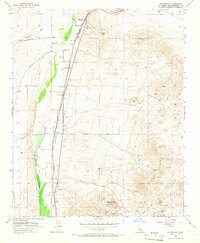
1956 Map of Helendale
USGS Topo · Published 1966About this map
The Mojave River valley serves as a narrow corridor of human activity through this High Desert landscape, anchored by the settlements of Helendale and Bryman. The logistics of the mid-1950s are evident in the parallel alignments of the Union Pacific and Atchison Topeka and Santa Fe railroads, which share this passage with Jordan Road and Helendale Road. An isolated Landing Strip and Airway Beacon 8 reflect the era's aerial navigation needs in the open desert.
Find a feature on this map
34 named features on this map. Tap any name to fly to it.
Don’t see what you’re looking for? This feature index may not catch every label — zoom into the map to look around manually.
Map Details
Editions of this 1956 Helendale Map
5 editions found
Other maps of this area

1932 · Barstow
USGS Topo · 1:125,000

1934 · Barstow
USGS Topo · 1:125,000

1953 · San Bernardino
USGS Topo · 1:250,000

1956 · San Bernardino
USGS Topo · 1:250,000
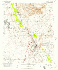
1956 · Victorville
USGS Topo · 1:24,000
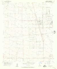
1956 · Adelanto
USGS Topo · 1:24,000

1956 · Hawes
USGS Topo · 1:62,500
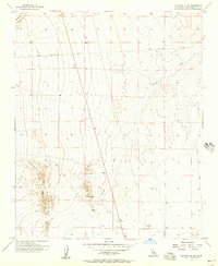
1956 · Victorville NW
USGS Topo · 1:24,000

1956 · Barstow
USGS Topo · 1:62,500

1956 · Helendale
USGS Topo · 1:24,000