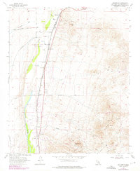
1956 Map of Helendale
USGS Topo · Published 1975About this map
The Mojave River valley serves as the central artery for this mid-century desert landscape, where water and transport define the settlement patterns of Helendale and Bryman. Two major rail lines, the Union Pacific and the Atchison Topeka and Santa Fe, parallel the river's course, highlighting the area's importance as a transit corridor between the High Desert and the coast. To the east, the rugged slopes of Silver Mountain and Sparkhule Mtn are marked by a legacy of resource extraction, with numerous workings such as the Oro Grande Mine, Branch Mine, and Apex Mine dotting the terrain. The presence of an Airway Beacon and a network of desert routes like Harper Lake Road and Davis Road further illustrate the mid-century infrastructure required to navigate and develop this arid region during a period of steady California expansion.
Find a feature on this map
25 named features on this map. Tap any name to fly to it.
Don’t see what you’re looking for? This feature index may not catch every label — zoom into the map to look around manually.
Map Details
Editions of this 1956 Helendale Map
5 editions found
Other maps of this area

1932 · Barstow
USGS Topo · 1:125,000

1934 · Barstow
USGS Topo · 1:125,000

1953 · San Bernardino
USGS Topo · 1:250,000

1956 · San Bernardino
USGS Topo · 1:250,000
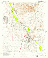
1956 · Victorville
USGS Topo · 1:24,000
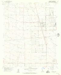
1956 · Adelanto
USGS Topo · 1:24,000

1956 · Hawes
USGS Topo · 1:62,500
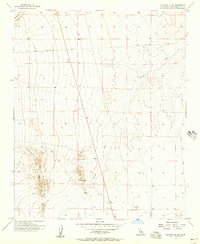
1956 · Victorville NW
USGS Topo · 1:24,000

1956 · Barstow
USGS Topo · 1:62,500

1956 · Helendale
USGS Topo · 1:24,000