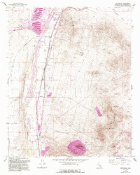
1956 Map of Helendale
USGS Topo · Published 1993About this map
Helendale and the surrounding high desert landscape are defined by the vital corridor of the Mojave River, where water and transport networks converge. This 1956 survey, updated with 1989 aerial data, captures the evolution of the area from a rail-dependent settlement along the Atchison Topeka and Santa Fe to the modern residential development of Silver Lakes. The presence of the National Trails Highway and a Landing Strip underscores the region's importance as a thoroughfare. To the east, the terrain rises toward Sparkhule Mtn, marked by numerous extractive sites including the Apex Mine and various prospects. Historical infrastructure like the Old Railroad Grade and the Hardrock Davis Road reflects the desert's industrial past, while the Riverview Middle Sch and local Fire Sta anchor the community of Helendale.
Find a feature on this map
31 named features on this map. Tap any name to fly to it.
Don’t see what you’re looking for? This feature index may not catch every label — zoom into the map to look around manually.
Map Details
Editions of this 1956 Helendale Map
5 editions found
Other maps of this area

1932 · Barstow
USGS Topo · 1:125,000

1934 · Barstow
USGS Topo · 1:125,000

1953 · San Bernardino
USGS Topo · 1:250,000

1956 · San Bernardino
USGS Topo · 1:250,000
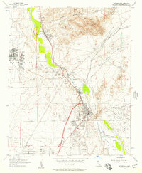
1956 · Victorville
USGS Topo · 1:24,000
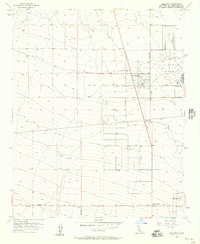
1956 · Adelanto
USGS Topo · 1:24,000

1956 · Hawes
USGS Topo · 1:62,500
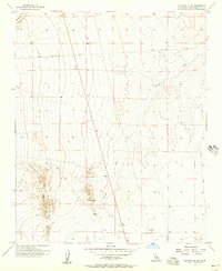
1956 · Victorville NW
USGS Topo · 1:24,000

1956 · Barstow
USGS Topo · 1:62,500

1956 · Helendale
USGS Topo · 1:24,000