
1952 Map of Helenwood
USGS Topo · Published 1953About this map
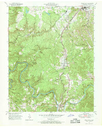
Oneida and Helenwood serve as the primary hubs on this 1950s survey of Scott County, Tennessee, oriented along the Southern Railway and Highway 27. The landscape is defined by the winding course of the New River and Clear Fork, which carve deep valleys through the plateau. This era marks a period of active resource extraction, evidenced by several strip mines located east of Huntsville. For the family historian, the map is densely populated with community landmarks, including the Sulphur Spring School, Niggs Creek Ch, and numerous family-named burial grounds like the Shoopman Cem and Honeycutt Cem. The intricate network of hollows, such as Dripping Springs Hollow and Sugarcamp Hollow, illustrates how early settlement patterns followed the natural drainage of the Cumberland Plateau.
Find a feature on this map
77 named features on this map. Tap any name to fly to it.
Don’t see what you’re looking for? This feature index may not catch every label — zoom into the map to look around manually.
Map Details
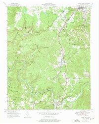
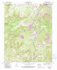
Editions of this 1952 Helenwood Map
4 editions found
Other maps of this area

1890 · Williamsburg
USGS Topo · 1:125,000

1893 · Briceville
USGS Topo · 1:125,000

1894 · Williamsburg
USGS Topo · 1:125,000

1895 · Wartburg
USGS Topo · 1:125,000

1895 · Briceville
USGS Topo · 1:125,000

1896 · Wartburg
USGS Topo · 1:125,000

1896 · Briceville
USGS Topo · 1:125,000

1934 · Barthell
USGS Topo · 1:62,500

1952 · Honey Creek
USGS Topo · 1:24,000

1952 · Rugby
USGS Topo · 1:24,000