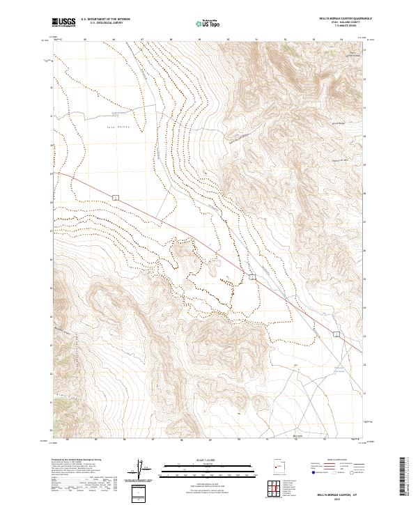
2023 Map of Hell'n Moriah Canyon
USGS Topo · Published 2023About this map
Hell'n Moriah Canyon cuts a distinct path through the Great Basin landscape of Millard County, situated between the House Range and the Confusion Range. This 2023 survey by the U.S. Geological Survey captures the topographic complexity of the western Utah desert, where the broad expanse of Tule Valley meets the rising elevations of Sawtooth Mtn and the Barn Hills. Water resources in this arid environment are sparsely distributed, represented by localized features like Jackson Pond and Watsons Cow Pond. The presence of the Tule Valley Rd provides the primary transit corridor through the region, connecting the valley floor with the surrounding heights. Notable geologic and geographic landmarks, such as Hell'n Moriah Kitchen and Blackham Canyon, underscore the isolated and weather-worn character of the terrain.
Find a feature on this map
12 named features on this map. Tap any name to fly to it.
Don’t see what you’re looking for? This feature index may not catch every label — zoom into the map to look around manually.
Map Details
Editions of this 2023 Hell'n Moriah Canyon Map
This is the sole edition of this map. No revisions or reprints were ever made.
Other maps of this area

1908 · Fish Springs
USGS Topo · 1:250,000

1910 · Fish Springs
USGS Topo · 1:250,000

1953 · Richfield
USGS Topo · 1:250,000

1953 · Delta
USGS Topo · 1:250,000

1958 · Richfield
USGS Topo · 1:250,000

1958 · Delta
USGS Topo · 1:250,000

1960 · Notch Peak
USGS Topo · 1:62,500

1960 · Crystal Peak
USGS Topo · 1:62,500

1960 · Conger Mountain
USGS Topo · 1:62,500

1960 · The Barn
USGS Topo · 1:62,500