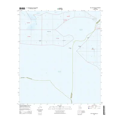
2015 Map of Hell Hole Bayou
USGS Topo · Published 2015About this map
Southwest Pass serves as the primary maritime gateway in this coastal landscape where the waters of the Gulf of Mexico meet the intricate marshes of Iberia and Vermilion Parishes. The coastal geography is defined by low-lying features such as Deadman Island and Tojan Island, which are situated amidst a network of tidal channels including Hell Hole Bayou and Hog Bayou. These waterways illustrate the fragile transition between the open gulf and the sheltered reaches of Vermilion Bay.
Find a feature on this map
22 named features on this map. Tap any name to fly to it.
Don’t see what you’re looking for? This feature index may not catch every label — zoom into the map to look around manually.
Map Details
Editions of this 2015 Hell Hole Bayou Map
This is the sole edition of this map. No revisions or reprints were ever made.
Other maps of this area
1945 · New Orleans
USGS Topo · 1:250,000
1946 · Redfish Point SW
USGS Topo · 1:31,680
1946 · Redfish Point NE
USGS Topo · 1:31,680
1946 · Redfish Point SE
USGS Topo · 1:31,680
1946 · Redfish Point NW
USGS Topo · 1:31,680
1948 · Cypremort Point
USGS Topo · 1:24,000
1949 · Bayou Lucien
USGS Topo · 1:31,680
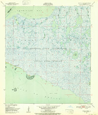
1951 · Bayou Lucien
USGS Topo · 1:24,000
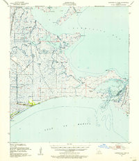
1951 · Cheniere Au Tigre
USGS Topo · 1:62,500
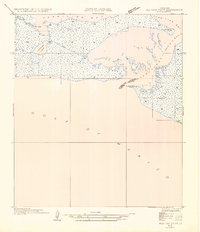
1954 · Redfish Point SE
USGS Topo · 1:31,680