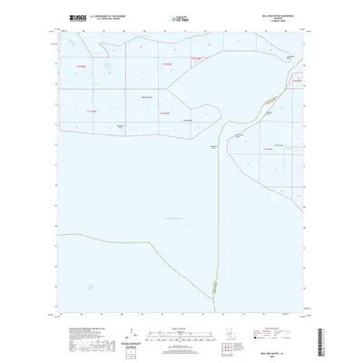
2020 Map of Hell Hole Bayou
USGS Topo · Published 2020About this map
Deadman Island and the complex wetlands of Marsh Island anchor this coastal survey where the freshwater systems of Iberia Parish meet the saline influence of the Gulf of Mexico. The landscape is defined by the sinuous path of Hell Hole Bayou and the expansive Portage Lake, illustrating the dynamic nature of the Louisiana shoreline. Navigation and maritime history are central to this area, as evidenced by the Acadiana Navigation Channel and landmarks like Lighthouse Point and Southwest Pass.
Find a feature on this map
17 named features on this map. Tap any name to fly to it.
Don’t see what you’re looking for? This feature index may not catch every label — zoom into the map to look around manually.
Map Details
Editions of this 2020 Hell Hole Bayou Map
This is the sole edition of this map. No revisions or reprints were ever made.
Other maps of this area

1945 · New Orleans
USGS Topo · 1:250,000

1946 · Redfish Point SW
USGS Topo · 1:31,680

1946 · Redfish Point NE
USGS Topo · 1:31,680

1946 · Redfish Point SE
USGS Topo · 1:31,680

1946 · Redfish Point NW
USGS Topo · 1:31,680

1948 · Cypremort Point
USGS Topo · 1:24,000

1949 · Bayou Lucien
USGS Topo · 1:31,680
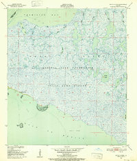
1951 · Bayou Lucien
USGS Topo · 1:24,000

1951 · Cheniere Au Tigre
USGS Topo · 1:62,500
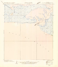
1954 · Redfish Point SE
USGS Topo · 1:31,680