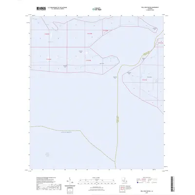
2024 Map of Hell Hole Bayou
USGS Topo · Published 2024About this map
Deadman Island and Tojan Island sit within the complex transition between the Louisiana coastline and the open Gulf of Mexico. This coastal environment in Iberia and Vermilion Parishes is defined by a network of tidal passes and bayous, including the eponymous Hell Hole Bayou and the winding Bird Island Bayou. The landscape is largely aquatic, dominated by the expanse of Vermilion Bay and the northern reaches of Marsh Island. Navigational features are critical here, with the Acadiana Navigation Channel cutting through the open water and Southwest Pass providing a vital artery for maritime movement. Coastal landmarks such as Lighthouse Point and Porpoise Point help define the shifting boundaries of this low-lying wetland territory, where the Tete Butte Reef lies submerged beneath the bay surface.
Find a feature on this map
21 named features on this map. Tap any name to fly to it.
Don’t see what you’re looking for? This feature index may not catch every label — zoom into the map to look around manually.
Map Details
Editions of this 2024 Hell Hole Bayou Map
This is the sole edition of this map. No revisions or reprints were ever made.
Other maps of this area
1945 · New Orleans
USGS Topo · 1:250,000
1946 · Redfish Point SW
USGS Topo · 1:31,680
1946 · Redfish Point NE
USGS Topo · 1:31,680
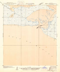
1946 · Redfish Point SE
USGS Topo · 1:31,680
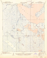
1946 · Redfish Point NW
USGS Topo · 1:31,680
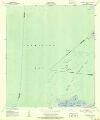
1948 · Cypremort Point
USGS Topo · 1:24,000
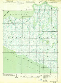
1949 · Bayou Lucien
USGS Topo · 1:31,680
1951 · Bayou Lucien
USGS Topo · 1:24,000
1951 · Cheniere Au Tigre
USGS Topo · 1:62,500
1954 · Redfish Point SE
USGS Topo · 1:31,680