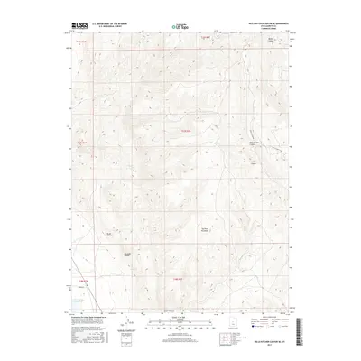
2017 Map of Hells Kitchen Canyon SE
USGS Topo · Published 2017About this map
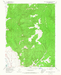
The San Pitch Mountains dominate this high-desert landscape in Sanpete County, defined by a complex network of seasonal drainage and steep elevation changes. Deep cuts such as Maple Canyon, Rough Canyon, and Axhandle Canyon reveal the dramatic topography of the region, where water briefly flows during snowmelt or storms through the Dry Fork. In the southwest corner, the edge of the Sevier Bridge Reservoir provides a critical water source for the surrounding arid terrain.
Find a feature on this map
18 named features on this map. Tap any name to fly to it.
Don’t see what you’re looking for? This feature index may not catch every label — zoom into the map to look around manually.
Map Details
Editions of this 2017 Hells Kitchen Canyon SE Map
This is the sole edition of this map. No revisions or reprints were ever made.
Other maps of this area
1885 · Manti
USGS Topo · 1:250,000
1895 · Manti
USGS Topo · 1:250,000
1956 · Price
USGS Topo · 1:250,000
1960 · Price
USGS Topo · 1:250,000
1962 · Price
USGS Topo · 1:250,000
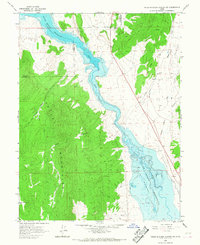
1965 · Hells Kitchen Canyon SW
USGS Topo · 1:24,000
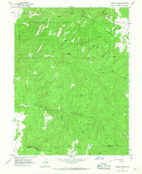
1965 · Chriss Canyon
USGS Topo · 1:24,000
1965 · Hells Kitchen Canyon SE
USGS Topo · 1:24,000
1965 · Skinner Peaks
USGS Topo · 1:24,000
1965 · Manti
USGS Topo · 1:24,000