
1965 Map of Hells Kitchen Canyon SE
USGS Topo · Published 1967About this map
The San Pitch Mountains dominate this 1965 survey, where high-elevation terrain is defined by a complex network of canyons and drainage systems in Sanpete County. Along the western edge of the range, the Gunnison Fayette Canal represents a critical piece of water infrastructure, cutting through the lower elevations near the Salt Lake Meridian. The landscape is largely undeveloped, marked primarily by a series of Jeep Trails and unnamed trails that provide access to remote areas like Axhandle and various springs nestled within the high draws.
Find a feature on this map
19 named features on this map. Tap any name to fly to it.
Don’t see what you’re looking for? This feature index may not catch every label — zoom into the map to look around manually.
Map Details
Editions of this 1965 Hells Kitchen Canyon SE Map
This is the sole edition of this map. No revisions or reprints were ever made.
Other maps of this area

1885 · Manti
USGS Topo · 1:250,000

1895 · Manti
USGS Topo · 1:250,000

1956 · Price
USGS Topo · 1:250,000

1960 · Price
USGS Topo · 1:250,000

1962 · Price
USGS Topo · 1:250,000
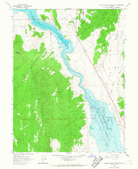
1965 · Hells Kitchen Canyon SW
USGS Topo · 1:24,000

1965 · Chriss Canyon
USGS Topo · 1:24,000
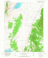
1965 · Skinner Peaks
USGS Topo · 1:24,000

1965 · Manti
USGS Topo · 1:24,000

1965 · Wales
USGS Topo · 1:24,000