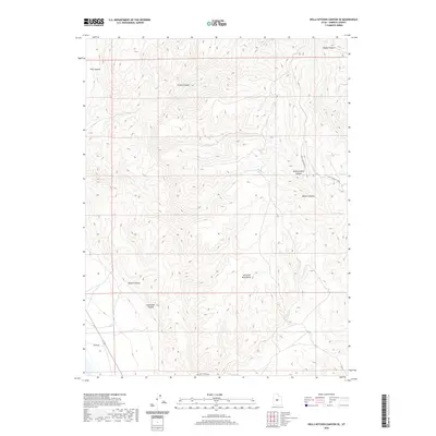
2020 Map of Hells Kitchen Canyon SE
USGS Topo · Published 2020About this map
The San Pitch Mountains dominate this high-elevation landscape in Sanpete County, characterized by a complex network of drainage systems and deep incisions. The topography is defined by prominent features such as Hells Kitchen Canyon, Mellor Canyon, and Timber Canyon, illustrating the erosive power of seasonal water flow through this arid region. The limited human footprint is restricted to primitive access routes, including Hells Kitchen Rd and Mellor Canyon Rd, which navigate the steep terrain to reach the mountain interiors.
Find a feature on this map
13 named features on this map. Tap any name to fly to it.
Don’t see what you’re looking for? This feature index may not catch every label — zoom into the map to look around manually.
Map Details
Editions of this 2020 Hells Kitchen Canyon SE Map
This is the sole edition of this map. No revisions or reprints were ever made.
Other maps of this area
1885 · Manti
USGS Topo · 1:250,000
1895 · Manti
USGS Topo · 1:250,000
1956 · Price
USGS Topo · 1:250,000
1960 · Price
USGS Topo · 1:250,000
1962 · Price
USGS Topo · 1:250,000
1965 · Hells Kitchen Canyon SW
USGS Topo · 1:24,000
1965 · Chriss Canyon
USGS Topo · 1:24,000
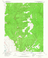
1965 · Hells Kitchen Canyon SE
USGS Topo · 1:24,000
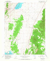
1965 · Skinner Peaks
USGS Topo · 1:24,000
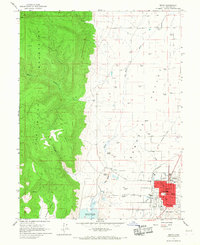
1965 · Manti
USGS Topo · 1:24,000