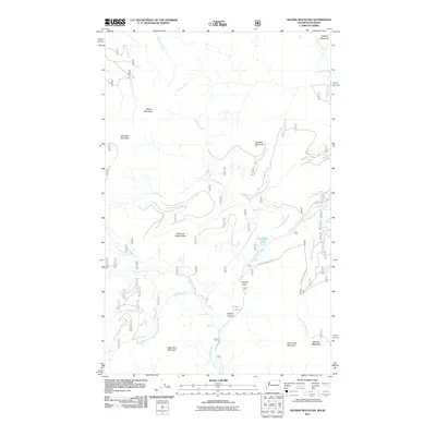
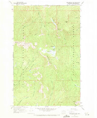
2011 Map of Helmer Mountain
USGS Topo · Published 2011About this map
Helmer Mountain and Mankato Mountain anchor this high-altitude landscape in the Idaho panhandle, where the drainage systems of Gold Creek and Hughes Fork define the local topography. This 2011 survey details a wilderness structured by high passes and deep canyons, most notably the aptly named Gold and Granite Pass and the steep confines of Packrat Gorge. Water is a primary feature of the terrain, with LaSota Falls and Granite Falls marking the descent of North Fork Granite Creek toward the southern boundary. To the northeast, the presence of Hughes Meadows and Bench Creek suggests the varied ecological zones found between the peaks. Human movement through this area is largely defined by resource access and forestry, illustrated by the presence of Quartz Crystals Rd and the series of service roads that navigate around Muskegon Lake and Little Grass Mountain.
Find a feature on this map
28 named features on this map. Tap any name to fly to it.
Don’t see what you’re looking for? This feature index may not catch every label — zoom into the map to look around manually.
Map Details
Editions of this 2011 Helmer Mountain Map
This is the sole edition of this map. No revisions or reprints were ever made.
Other maps of this area
1911 · Priest Lake
USGS Topo · 1:250,000
1913 · Priest Lake
USGS Topo · 1:250,000
1934 · Metaline
USGS Topo · 1:125,000
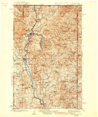
1942 · Metaline
USGS Topo · 1:125,000

1958 · Sandpoint
USGS Topo · 1:250,000

1963 · Sandpoint
USGS Topo · 1:250,000
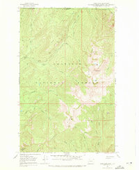
1967 · Gypsy Peak
USGS Topo · 1:24,000
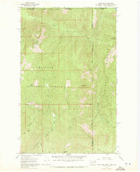
1967 · Salmo Mtn.
USGS Topo · 1:24,000
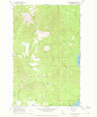
1967 · Priest Lake NW
USGS Topo · 1:24,000
1967 · Monumental Mtn.
USGS Topo · 1:24,000