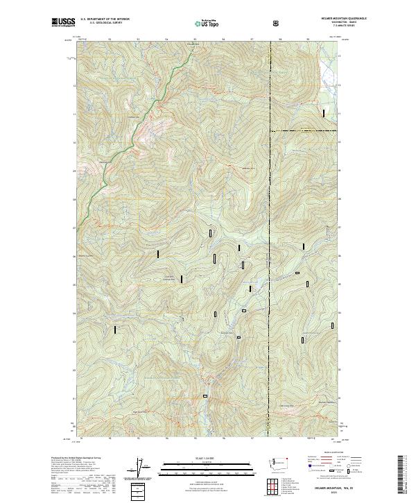
2023 Map of Helmer Mountain
USGS Topo · Published 2023About this map
The Salmo-Priest Wilderness and the Colville National Forest dominate this high-altitude landscape along the Washington and Idaho border. The terrain is defined by a dense network of forest trails and prominent peaks, including Helmer Mtn, Mankato Mtn, and Jackson Mtn. The watershed is particularly intricate, featuring the dramatic Packrat Gorge and numerous water features such as LaSota Falls, Granite Falls, and Playa Lake.
Find a feature on this map
62 named features on this map. Tap any name to fly to it.
Don’t see what you’re looking for? This feature index may not catch every label — zoom into the map to look around manually.
Map Details
Editions of this 2023 Helmer Mountain Map
This is the sole edition of this map. No revisions or reprints were ever made.
Other maps of this area

1911 · Priest Lake
USGS Topo · 1:250,000

1913 · Priest Lake
USGS Topo · 1:250,000

1934 · Metaline
USGS Topo · 1:125,000

1942 · Metaline
USGS Topo · 1:125,000

1958 · Sandpoint
USGS Topo · 1:250,000

1963 · Sandpoint
USGS Topo · 1:250,000

1967 · Gypsy Peak
USGS Topo · 1:24,000

1967 · Salmo Mtn.
USGS Topo · 1:24,000

1967 · Priest Lake NW
USGS Topo · 1:24,000

1967 · Monumental Mtn.
USGS Topo · 1:24,000