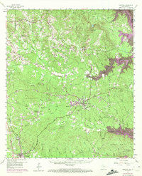
1958 Map of Hemphill
USGS Topo · Published 1972About this map
Hemphill serves as the focal point of this east Texas landscape, situated between the Sabine National Forest and the rising waters of the Toledo Bend Reservoir. The map documents a period of significant transition for the region, showing the newly revised woodland boundaries within the reservoir area alongside the historic trace of El Camino Real. Deep in the timberlands, the Austin College Forestry Camp and the Atchison Topeka and Santa Fe Railway underscore the importance of the local forest products industry, further evidenced by an Old Railroad Grade and features like Turpentine Spring. Genealogy and local history are well-represented by numerous family landmarks and rural institutions, including the McMahan Chapel (Historical Marker), Gravel Hill Cem, and the timber-centric community of East Mayfield.
Find a feature on this map
78 named features on this map. Tap any name to fly to it.
Don’t see what you’re looking for? This feature index may not catch every label — zoom into the map to look around manually.
Map Details
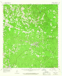
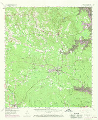
Editions of this 1958 Hemphill Map
4 editions found

Other maps of this area

1941 · Zwolle
USGS Topo · 1:62,500

1944 · Negreet
USGS Topo · 1:62,500

1944 · Wiergate
USGS Topo · 1:62,500

1944 · Patroon
USGS Topo · 1:62,500

1944 · Zwolle
USGS Topo · 1:62,500

1948 · Wiergate
USGS Topo · 1:62,500

1953 · Alexandria
USGS Topo · 1:250,000

1953 · Palestine
USGS Topo · 1:250,000

1954 · Columbus
USGS Topo · 1:24,000

1954 · Fairdale
USGS Topo · 1:24,000