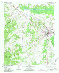
1961 Map of Henderson
USGS Topo · Published 1981About this map
Henderson serves as the focal point of this West Tennessee landscape, anchored by the presence of Henderson College and the County Training Sch. The town's layout is defined by the intersection of the Illinois Central Gulf railroad and several regional routes, including the Old Henderson Road. To the northwest, the Pinson Indian Mounds stand near the South Fork Forked Deer River, marking a significant pre-settlement site along the Madison and Chester County line.
Find a feature on this map
38 named features on this map. Tap any name to fly to it.
Don’t see what you’re looking for? This feature index may not catch every label — zoom into the map to look around manually.
Map Details
Editions of this 1961 Henderson Map
3 editions found
Other maps of this area

1936 · Mt. Peter
USGS Topo · 1:24,000

1949 · Mt. Peter
USGS Topo · 1:24,000

1950 · Jackson South
USGS Topo · 1:24,000

1953 · Beech Bluff
USGS Topo · 1:24,000

1955 · Luray
USGS Topo · 1:24,000

1956 · Blytheville
USGS Topo · 1:250,000

1959 · Blytheville
USGS Topo · 1:250,000

1961 · Medon
USGS Topo · 1:24,000
1961 · Silerton
USGS Topo · 1:24,000
1961 · Henderson
USGS Topo · 1:24,000