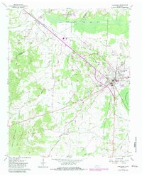
1961 Map of Henderson
USGS Topo · Published 1983About this map
The Pinson Mounds State Archaeological Area stands as a primary landmark in this West Tennessee landscape, situated along the South Fork Forked Deer River. The 1961 data, updated with 1983 revisions, illustrates the established community of Henderson, featuring Freed-Hardeman College and the County Training Sch. The map reveals a deeply rooted rural infrastructure of family-named cemeteries and community churches, including Montezuma Cem, Rogers Cem, and Antioch Ch.
Find a feature on this map
45 named features on this map. Tap any name to fly to it.
Don’t see what you’re looking for? This feature index may not catch every label — zoom into the map to look around manually.
Map Details
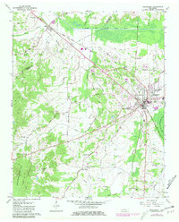
Editions of this 1961 Henderson Map
3 editions found
Other maps of this area

1936 · Mt. Peter
USGS Topo · 1:24,000

1949 · Mt. Peter
USGS Topo · 1:24,000

1950 · Jackson South
USGS Topo · 1:24,000

1953 · Beech Bluff
USGS Topo · 1:24,000

1955 · Luray
USGS Topo · 1:24,000

1956 · Blytheville
USGS Topo · 1:250,000

1959 · Blytheville
USGS Topo · 1:250,000

1961 · Medon
USGS Topo · 1:24,000
1961 · Silerton
USGS Topo · 1:24,000
1961 · Henderson
USGS Topo · 1:24,000