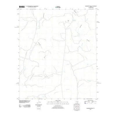
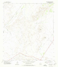
2010 Map of Henderson Mesa
USGS Topo · Published 2010About this map
Henderson Mesa dominates the topography of this Jeff Davis County landscape, where the high ground is cut by a series of dramatic drainages including Horse Thief Canyon and Black Canyon. This 2010 survey by the U.S. Geological Survey illustrates a high-desert terrain shaped by water management and ranching infrastructure, evidenced by features like Antelope Tank tucked near Polks Peak.
Find a feature on this map
16 named features on this map. Tap any name to fly to it.
Don’t see what you’re looking for? This feature index may not catch every label — zoom into the map to look around manually.
Map Details
Editions of this 2010 Henderson Mesa Map
This is the sole edition of this map. No revisions or reprints were ever made.
Other maps of this area
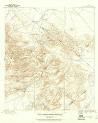
1894 · Fort Davis
USGS Topo · 1:125,000
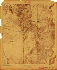
1895 · Alpine
USGS Topo · 1:125,000
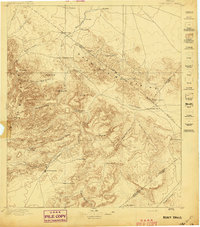
1897 · Fort Davis
USGS Topo · 1:125,000

1954 · Fort Stockton
USGS Topo · 1:250,000

1958 · Fort Stockton
USGS Topo · 1:250,000
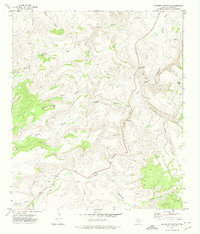
1972 · Swayback Mountain
USGS Topo · 1:24,000
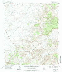
1972 · Fort Davis SE
USGS Topo · 1:24,000
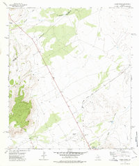
1972 · Alpine North
USGS Topo · 1:24,000
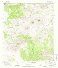
1972 · Mitre Peak
USGS Topo · 1:24,000
1972 · Elam Mountain
USGS Topo · 1:24,000