
1972 Map of Swayback Mountain
USGS Topo · Published 1974About this map
Limpia Creek winds through the high desert canyons of Jeff Davis County, carving a path through the Davis Mountains as they appeared in the early 1970s. The landscape is defined by its dramatic relief, where Arkansas Mesa and Swayback Mountain rise above a complex network of dry washes and deep canyons like Frazier Canyon and McCutcheon Canyon. Human activity is sparse and centered on livestock and water management, visible in the Powell Ranch and various isolated features like the Gaging Sta and a Well located along the creek bed.
Find a feature on this map
26 named features on this map. Tap any name to fly to it.
Don’t see what you’re looking for? This feature index may not catch every label — zoom into the map to look around manually.
Map Details
Editions of this 1972 Swayback Mountain Map
This is the sole edition of this map. No revisions or reprints were ever made.
Other maps of this area

1894 · Fort Davis
USGS Topo · 1:125,000

1897 · Fort Davis
USGS Topo · 1:125,000

1954 · Fort Stockton
USGS Topo · 1:250,000

1958 · Fort Stockton
USGS Topo · 1:250,000

1972 · Casket Mountain
USGS Topo · 1:24,000
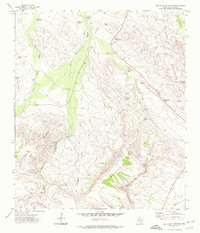
1972 · Big Aguja Mountain
USGS Topo · 1:24,000
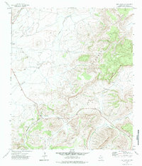
1972 · Fort Davis SE
USGS Topo · 1:24,000
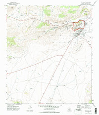
1972 · Fort Davis
USGS Topo · 1:24,000
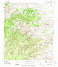
1972 · Little Aguja Mountain
USGS Topo · 1:24,000

1973 · Fort Stockton
USGS Topo · 1:250,000