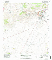
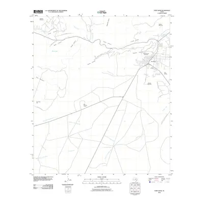
1972 Map of Fort Davis
USGS Topo · Published 1975About this map
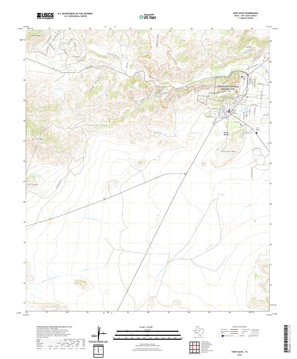
Davis Mountains State Park and the adjacent Fort Davis National Historic Site anchor this survey of a unique West Texas landscape where high-altitude desert plateaus meet steep volcanic ridges. The settlement of Fort Davis is meticulously detailed, showing the layout of the old military post alongside local civic institutions like the Anderson Sch, High Sch, and the local Hospital. Topographical features such as Sleeping Lion Mtn and Dolores Mountain overlook the town, while water sources like Limpia Creek and Chihuahua Creek carve through the arid terrain. For those tracing family history, the map identifies three distinct burial grounds: Pioneer Cem, St Joseph Cem, and a third unnamed Cem. The presence of numerous Jeep Trails and a Pack Trail through Keesey Canyon reflects the era's reliance on rugged access routes through the deep canyons of the Davis Mountains.
Find a feature on this map
41 named features on this map. Tap any name to fly to it.
Don’t see what you’re looking for? This feature index may not catch every label — zoom into the map to look around manually.
Map Details
Editions of this 1972 Fort Davis Map
This is the sole edition of this map. No revisions or reprints were ever made.
Historical Maps of Fort Davis Through Time
9 maps found
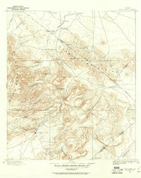
1894 Fort Davis
Jeff Davis County, TX
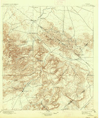
1897 Fort Davis
Jeff Davis County, TX
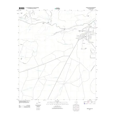
1972 Fort Davis
Jeff Davis County, TX
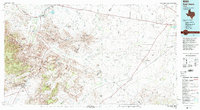
1985 Fort Davis
Jeff Davis County, TX
2010 Fort Davis
Jeff Davis County, TX
2012 Fort Davis
Jeff Davis County, TX
2016 Fort Davis
Jeff Davis County, TX
2019 Fort Davis
Jeff Davis County, TX
2022 Fort Davis
Jeff Davis County, TX