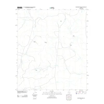
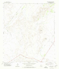
2012 Map of Henderson Mesa
USGS Topo · Published 2012About this map
Henderson Mesa serves as a central landmark in this West Texas survey, where the high desert drainage patterns define the local geography. The landscape is carved by numerous seasonal watercourses, including Musquiz Cr and Dutchman Cr, which gather in the flats south of Polks Peak. These drainages converge near Dutchman Cove, reflecting the historical importance of water management and cattle ranching in the Big Bend region.
Find a feature on this map
13 named features on this map. Tap any name to fly to it.
Don’t see what you’re looking for? This feature index may not catch every label — zoom into the map to look around manually.
Map Details
Editions of this 2012 Henderson Mesa Map
This is the sole edition of this map. No revisions or reprints were ever made.
Other maps of this area
1894 · Fort Davis
USGS Topo · 1:125,000
1895 · Alpine
USGS Topo · 1:125,000
1897 · Fort Davis
USGS Topo · 1:125,000

1954 · Fort Stockton
USGS Topo · 1:250,000

1958 · Fort Stockton
USGS Topo · 1:250,000
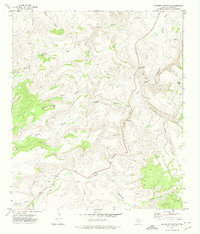
1972 · Swayback Mountain
USGS Topo · 1:24,000
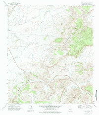
1972 · Fort Davis SE
USGS Topo · 1:24,000
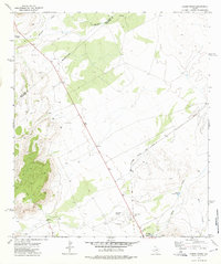
1972 · Alpine North
USGS Topo · 1:24,000
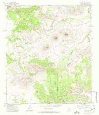
1972 · Mitre Peak
USGS Topo · 1:24,000
1972 · Elam Mountain
USGS Topo · 1:24,000