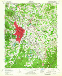
1965 Map of Hendersonville
USGS Topo · Published 1967About this map
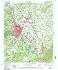
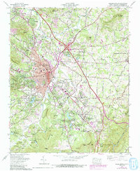
The Hendersonville city center anchors this mid-century survey, revealing a dense urban core of civic buildings including the Courthouse, Post Office, and City Hall. The landscape is a complex mix of industrial and institutional development along the Southern railroad line, which passes through Balfour and East Flat Rock. Significant social and recreational sites punctuate the area, from the Western NC Fairgrounds to numerous religious and educational retreats like the Bonclarken Assembly Grounds and Camp Pinewood. The surrounding terrain transitions into the high ridges of the Blue Ridge and the Tennessee Valley Divide, with distinct peaks such as Teneriffe Mtn and Glassy Mountain overlooking the valley. Transport infrastructure is prominent, featuring the Hendersonville-Meyer Airport and a growing network of local roads and highways like U.S. 25 and Howard Gap Road.
Find a feature on this map
97 named features on this map. Tap any name to fly to it.
Don’t see what you’re looking for? This feature index may not catch every label — zoom into the map to look around manually.
Map Details
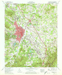
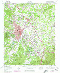
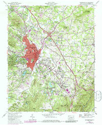
Editions of this 1965 Hendersonville Map
6 editions found
Other maps of this area

1905 · Pisgah
USGS Topo · 1:125,000

1906 · Pisgah
USGS Topo · 1:125,000

1907 · Saluda
USGS Topo · 1:125,000

1935 · Standingstone Mtn.
USGS Topo · 1:24,000

1935 · Horse Shoe
USGS Topo · 1:24,000

1935 · Batcave
USGS Topo · 1:24,000

1935 · Hendersonville
USGS Topo · 1:24,000

1935 · Fishtop
USGS Topo · 1:24,000

1935 · Zirconia
USGS Topo · 1:24,000

1936 · Skyland
USGS Topo · 1:24,000