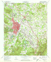
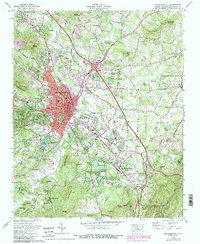
1965 Map of Hendersonville
USGS Topo · Published 1972About this map
Hendersonville sits at a geographic crossroads in the mid-1960s, defined by its position on the Southern Railway and the historic Dixie Highway. The city's mid-century footprint is detailed alongside surrounding communities like Balfour, Barker Heights, and Flat Rock. This survey reveals a landscape deeply invested in the assembly and retreat culture of the era, showcasing numerous recreational and religious grounds such as the Bonclarken Assembly Grounds, Camp Tonawandah, and Our Lady of the Hills Camp.
Find a feature on this map
148 named features on this map. Tap any name to fly to it.
Don’t see what you’re looking for? This feature index may not catch every label — zoom into the map to look around manually.
Map Details
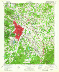
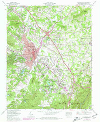
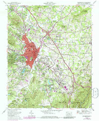
Editions of this 1965 Hendersonville Map
6 editions found
Other maps of this area

1905 · Pisgah
USGS Topo · 1:125,000

1906 · Pisgah
USGS Topo · 1:125,000

1907 · Saluda
USGS Topo · 1:125,000

1935 · Standingstone Mtn.
USGS Topo · 1:24,000

1935 · Horse Shoe
USGS Topo · 1:24,000

1935 · Batcave
USGS Topo · 1:24,000

1935 · Hendersonville
USGS Topo · 1:24,000

1935 · Fishtop
USGS Topo · 1:24,000

1935 · Zirconia
USGS Topo · 1:24,000

1936 · Skyland
USGS Topo · 1:24,000