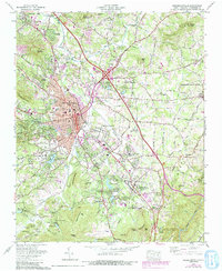
1965 Map of Hendersonville
USGS Topo · Published 1991About this map
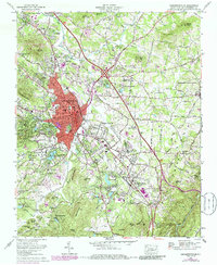
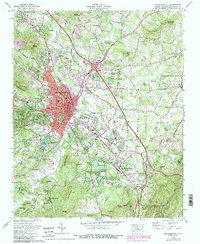
Hendersonville serves as the focal point of this 1965 survey, updated through 1990 to show the urban expansion of the county seat. The Southern Railway corridor anchors the valley, connecting the industrial nodes of Balfour and East Flat Rock. The landscape is defined by the Tennessee Valley Divide winding through the eastern hills and a dense concentration of religious and recreational retreats, such as the Bonclarken Assembly Grounds and Our Lady of the Hills Camp.
Find a feature on this map
113 named features on this map. Tap any name to fly to it.
Don’t see what you’re looking for? This feature index may not catch every label — zoom into the map to look around manually.
Map Details
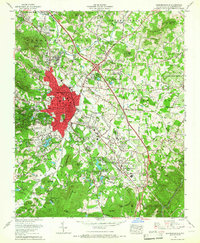
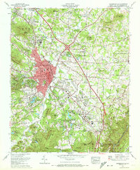
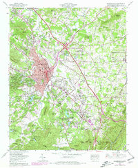
Editions of this 1965 Hendersonville Map
6 editions found
Other maps of this area

1905 · Pisgah
USGS Topo · 1:125,000

1906 · Pisgah
USGS Topo · 1:125,000

1907 · Saluda
USGS Topo · 1:125,000

1935 · Standingstone Mtn.
USGS Topo · 1:24,000

1935 · Horse Shoe
USGS Topo · 1:24,000

1935 · Batcave
USGS Topo · 1:24,000

1935 · Hendersonville
USGS Topo · 1:24,000

1935 · Fishtop
USGS Topo · 1:24,000

1935 · Zirconia
USGS Topo · 1:24,000

1936 · Skyland
USGS Topo · 1:24,000