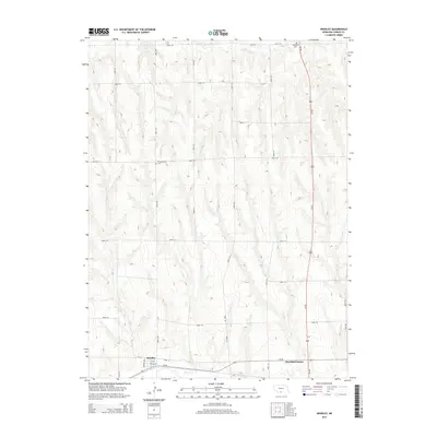
2014 Map of Hendley
USGS Topo · Published 2014About this map
Hendley and the nearby crossroads of Deerfield Corner anchor this portion of Furnas County along the southern border of Nebraska. The landscape is defined by the east-flowing Beaver Cr, which parallels Ne-89 at the bottom of the sheet, and the smaller Crum Cr drainage in the north. The area's agricultural and social history is visible through the section-line road network, including many numbered routes like Road 716 and Road 421 that crisscross the undulating terrain. Genealogy researchers will find interest in the dedicated sites of Garfield Cem and Pleasantview Cem, while the modern corridor of Us-283 provides the primary north-south transit through these upland fields. The town of Hendley is detailed with its street grid, featuring Howard Ave and numbered streets like 5th St.
Find a feature on this map
29 named features on this map. Tap any name to fly to it.
Don’t see what you’re looking for? This feature index may not catch every label — zoom into the map to look around manually.
Map Details
Editions of this 2014 Hendley Map
This is the sole edition of this map. No revisions or reprints were ever made.
Other maps of this area

1896 · Arapahoe
USGS Topo · 1:125,000

1898 · Arapahoe
USGS Topo · 1:125,000

1954 · McCook
USGS Topo · 1:250,000

1955 · Grand Island
USGS Topo · 1:250,000

1957 · McCook
USGS Topo · 1:250,000

1957 · Grand Island
USGS Topo · 1:250,000
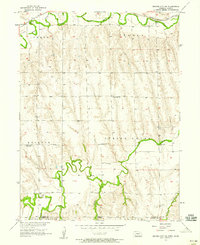
1957 · Beaver City SW
USGS Topo · 1:24,000
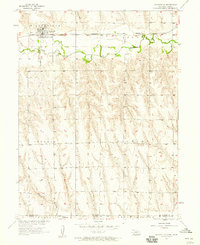
1957 · Wilsonville
USGS Topo · 1:24,000

1957 · Beaver City SE
USGS Topo · 1:24,000

1958 · McCook
USGS Topo · 1:250,000